By installing After Effects software, you can edit this project as you wish and in any language.
91.5 MB
ZIP
AE-CC
FHD
Khalaj.Net
Works out of the box—no extra plugins needed.
Full HD for modern screens and platforms.
Step-by-step guide to help customize easily.
text, media, timing, and layout with full control.
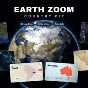
This toolkit enables you to create animated zooms from space to the map of any of 196 countries, complete with automatic overlays for flag, capital, population, area, language, and currency. The asset is ideal for educational videos, documentaries, or professional presentations that require clear and engaging country data visualization. Included are six unique map scenes, each in its own composition, offering a variety of visual styles for presenting geographic information.
Each scene features a smooth, cinematic ease-out flight from space to the selected country, lasting ten seconds. Color controls are available for every scene, allowing you to match the animation to your brand or project theme. Country information is filled in automatically when you select a country from the dropdown, and you can easily edit any line of info text as needed.
This makes the toolkit suitable for projects such as educational content, travel documentaries, news reports, or corporate videos that highlight country-specific data. The project is delivered in Full HD 1920×1080 resolution and uses public domain map data from NASA and Natural Earth. No third-party plugins are required, and the package includes free fonts and a help file.